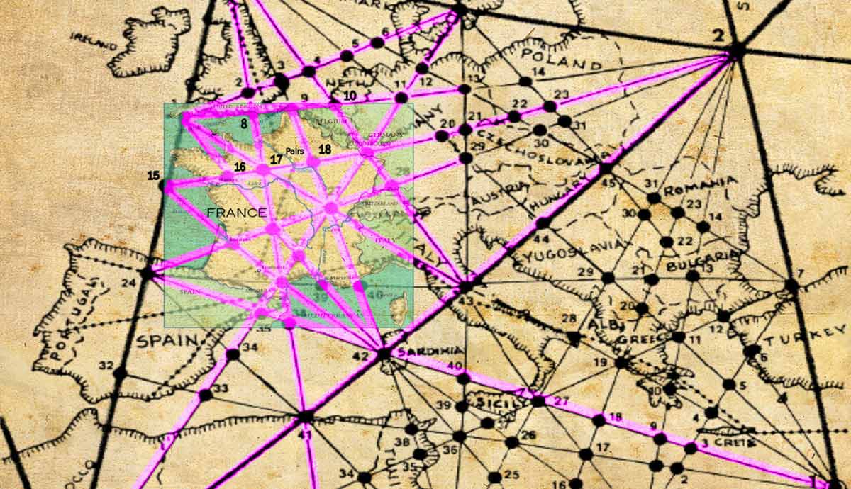
First proposed by amateur English archaeologist Alfred Watkins during the 1920s, ley lines are theoretical energy lines which connect key landmarks across the globe, joining sacred sites from Stonehenge to the Egyptian Pyramids. According to Watkins, whose work focused predominantly on the English landscape, the lines were interconnected via certain ‘terminal points’ such as churches, beacons, mounds and holy wells. Over the following decades the concept of ley lines gathered pace, with a core group of enthusiasts arguing that the lines were interconnected around the entire world. Some believed these lines were joined with the rhythms and patterns of nature, organized in alignment with the sun and stars, and even carried energy, or psychic power. Even today, a small number of enthusiasts still believe in the interconnected nature of civilization and the earth, with a handful connecting ley lines to supernatural or extraterrestrial forces.
Ancient Trails

In his popular, yet much-contested book The Old Straight Track, (1925) Watkins argued that our ancestors across the British Isles seemed to have constructed ruler straight, linear pathways from one key site, or ‘terminal point’, to another, which helped them navigate their way across the countryside. Watkins named these tracks ‘ley’ lines after the Anglo-Saxon word ‘ley’, meaning ‘clearing in the woods.’ He argued that these ley lines traced pathways across, “whatever steep and seemingly improbable obstacles come in the way.” He wrote, “Imagine a fairy chain stretched out from mountain peak to mountain peak, as far as the eye could reach, and paid out until it touched the ‘high places’ of the Earth at a number of ridges, banks and knolls.”
Paths Between Beacons and Vantage Points

Envisioning the wild and untamed nature of the British landscape before farming and industrialization, Watkins believed ley lines gave early civilizations a way of finding their way to key ‘terminal points’, such as natural or man-made mound summits which were used for sending fire signals, or sacred meeting points such as standing stones. Later, Watkins argued that tracks along these taught, straight lines dictated the location of standing crosses or places of worship, most notably churches. According to Watkins’ research, sites once designed by early civilizations in alignment with sun and star patterns were positioned along significant ley lines.
Old Trails

Watkins argued that the oldest surviving trail left behind from ancient ley lines was the Hergest Ridge section of the Offas Dyke trail, which runs a particularly straight line across the land, passing hills and churches while visible from various beacon points in the surrounding countryside. Another prominent pathway according to Watkins is St Michael’s, which, he argued, crossed with several ley lines at St Michael’s Mount in Cornwall. Sitting high above water, and housing a holy well, church, and castle, the site suited many of the terminal point characteristics Watkins listed in his book.
Trends and Controversies

Watkins’ theories emerged during a period or surging interest in the British countryside, as hikers from across Europe came in search of an escape from city life. His book did much to promote enthusiasm for the British wilderness, and he subsequently published the equally as popular book The Ley Hunters Manual: A Guide to Early Tracks (1927).
As much as Watkins attracted followers, he also ushered in a band of pseudo-scientists with controversial ideas around the mystical and even supernatural possibilities embedded within ley lines, from stories of spiritual entities to alien invasions. Some found supposed tracks linking early sacred sites across the entire world, arguing the entire course of civilization had been designed in accordance with energy lines running from one key point to another. Meanwhile, many academics and critics argued that Watkins’ supposed ley lines were a fallacy, noting how straight lines would be surprisingly easy to find between many key vantage points on a map, and there was little real evidence to suggest any connection between them.
Significance Today

More recently, Watkins’ notion of ley lines was adopted by various researchers including John Michell, who wrote The View Over Atlantis in 1969 in direct response to his elder, arguing that mysterious ancient earthworks and stone monuments had been designed in accordance with a world wide system of geometry, in accordance with the archaic civilization that Plato called Atlantis. In 1962, the Ley Hunter’s Club was established, while in 1965, Philip Heselton set up the Ley Hunter Magazine for a small group of core enthusiasts. The Magazine survived until the 1990s, demonstrating how much sway ley lines had throughout the later 20th century.

However, it is worth noting that the vast majority of ley line followers were dreamers and romantics who went out into the wilderness in search spiritual, mystical, or magnetic energy, rather than actually looking for sound evidence. The revival of interest in ley lines during the late-20th century wasn’t to last. Today, the concept of ley lines has been largely discredited by academics, and those who do still search for, and try to find enigmatic tracks that connect to our ancient past are few and far between.


